Archivist hopes map will assist genealogists, further research opportunities
By Elizabeth Wong Barnstead, The Western Kentucky Catholic
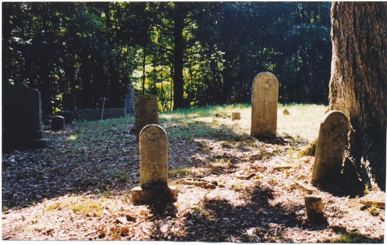
Cemeteries are important for many reasons.
They serve practical purposes and emotional purposes, as well spiritual purposes in the Catholic Church, which upholds “burying the dead” as a corporal work of mercy.
But for genealogists and archivists, cemeteries fill a crucial role in understanding and learning more about the history of particular regions.
The Diocese of Owensboro’s Archives recently announced the launch of an interactive Google map marking the locations of numerous cemeteries spread around the boundaries of the diocese.
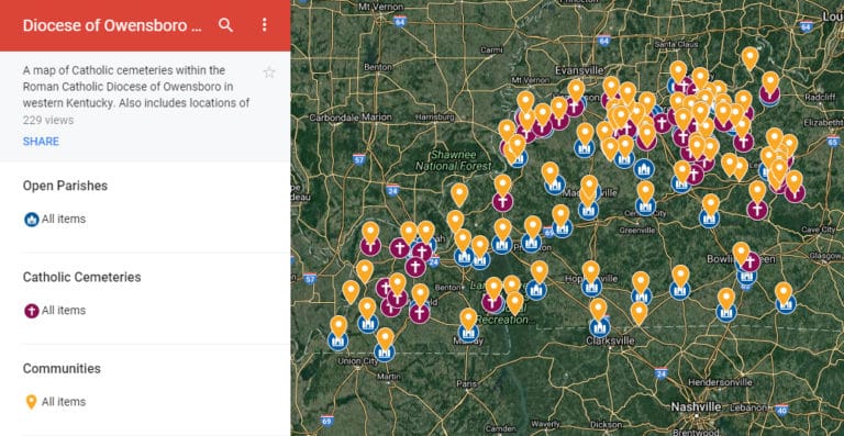
The map, which can be found at owensborodiocese.org/catholic-cemeteries, enables anyone online to view and learn about 70 of the various diocesan, parish, religious community and Catholic family cemeteries in western Kentucky.
Heidi Taylor-Caudill, diocesan archivist, said it took the Archives staff roughly one year to gather enough information for the map to be sufficient for public viewing.
“Last winter we were asked to find a way to communicate the locations of all the Catholic cemeteries in the Diocese of Owensboro on the new website,” said Taylor-Caudill. She said one of the most effective examples was the use of digital maps, “which made it possible to visually locate the cemeteries and explore how they related to each other geographically.”
Taylor-Caudill said Archives created the diocesan map with an app called Google My Maps, which is a free and user-friendly way to share personalized maps online. She said they also utilized “The Programming Historian,” a website that included a beginner’s tutorial to mapping historical data with Google Maps.
Taylor-Caudill said they got “lucky” thanks to the work of Bob Cinnamond, an Archives volunteer and professor at Brescia University, who in 2008 had assembled a box of “research notes, lists, news clippings, photographs, and hand-drawn maps of many Catholic cemeteries in the diocese.”
“We spent nine months painstakingly researching, verifying, and plotting on the map the cemeteries from Dr. Cinnamond’s lists,” said Taylor-Caudill. She added that they also used this opportunity to map all open parishes in the Diocese of Owensboro, as well as communities associated with the cemeteries.
This is demonstrated with a function called “layers,” in order to show distances among the locations. The layers can be selected or deselected on the map, in case a viewer just wants to see the parishes, communities or cemeteries separately.
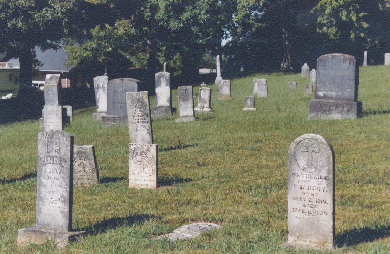
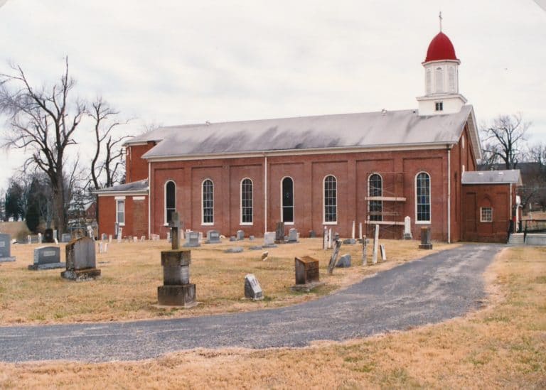
When possible, photos and hand-drawn maps, provided by Cinnamond, are also included in the map’s entries.
This was a lot of extra work for Taylor-Caudill’s office, since “this project had to be squeezed in between the normal, everyday activities of the Archives,” she said.
In June 2017, however, they were finally able to launch the map for the world to see.
Taylor-Caudill said she likes that viewers can customize the map’s view based on their preference, such as satellite view – to actually see the cemeteries – and map view, which features street names.
Taylor-Caudill said the cemeteries map was designed so researchers could not only find locations, but also make “geographical comparisons between cemeteries, parishes and communities.”
“Genealogists often contact our office with questions about cemeteries and burial locations,” said Taylor-Caudill, “so it was important that we include any information we could find on interments as well as associated communities and parishes.”
Additionally, the streamlined map will assist Archives staff in better answering questions submitted to their office.
The cemeteries map is not currently editable by the public, but Taylor-Caudill said the Archives would welcome additional information on Catholic cemeteries to help improve and further develop the map.
She said Cinnamond’s work was the foundation for the map, but more information is always being discovered.
“Our current volunteer, Darylin Bishop, has spent months looking through the parish historical files for documentation on cemeteries,” said Taylor-Caudill. “Some of her findings may help us in identifying cemeteries that currently do not exist on our map.”
Taylor-Caudill said she realizes there are likely many more Catholic family cemeteries in western Kentucky that are not currently on the map, “because we do not know about them.”
“We’re asking people to contact us if they know about other cemeteries,” said Taylor-Caudill, and said she can be reached at (270) 683-6883, extension 333, or heidi.caudill@pastoral.org.